Divided Sky Estates

Offering by late summer

Multi‑Acre Homesites in Salida, Colorado

Twelve homesites of two to three acres each, set against the Sawatch Range on the edge of town.

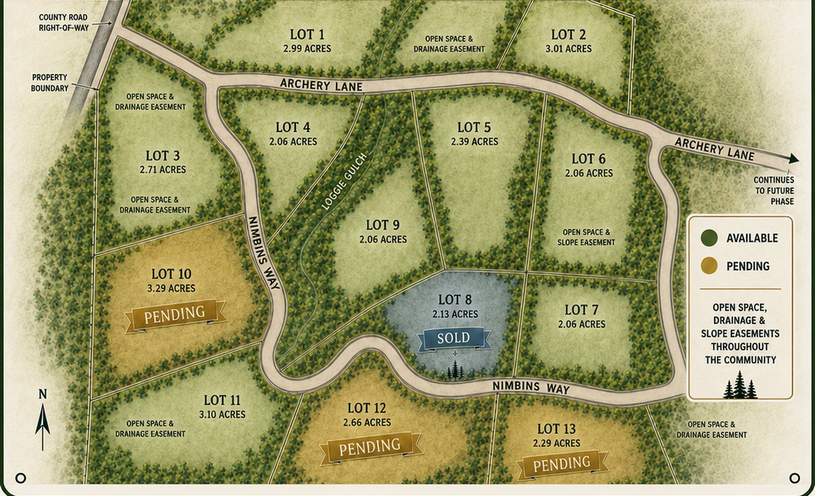
Illustrated plat map of Divided Sky Estates showing homesites along Archery Lane and Nimbins Way.
The community plan. Archery Lane continues to a future phase.

The land

Twelve Lots

Every homesite is between two and three and a quarter acres, laid out along Archery Lane and Nimbins Way. Each lot is privately owned right up to its boundaries, with no public open space, only drainage easements for building purposes. Archery Lane continues on to a future phase.

  • Lot 12.99 acresAvailable
  • Lot 23.01 acresAvailable
  • Lot 32.71 acresAvailable
  • Lot 42.06 acresAvailable
  • Lot 52.39 acresAvailable
  • Lot 62.06 acresAvailable
  • Lot 72.06 acresAvailable
  • Lot 92.06 acresAvailable
  • Lot 103.29 acresPending
  • Lot 113.10 acresAvailable
  • Lot 122.66 acresPending
  • Lot 132.29 acresAvailable

Our story

Two Lifties and a Long Dream

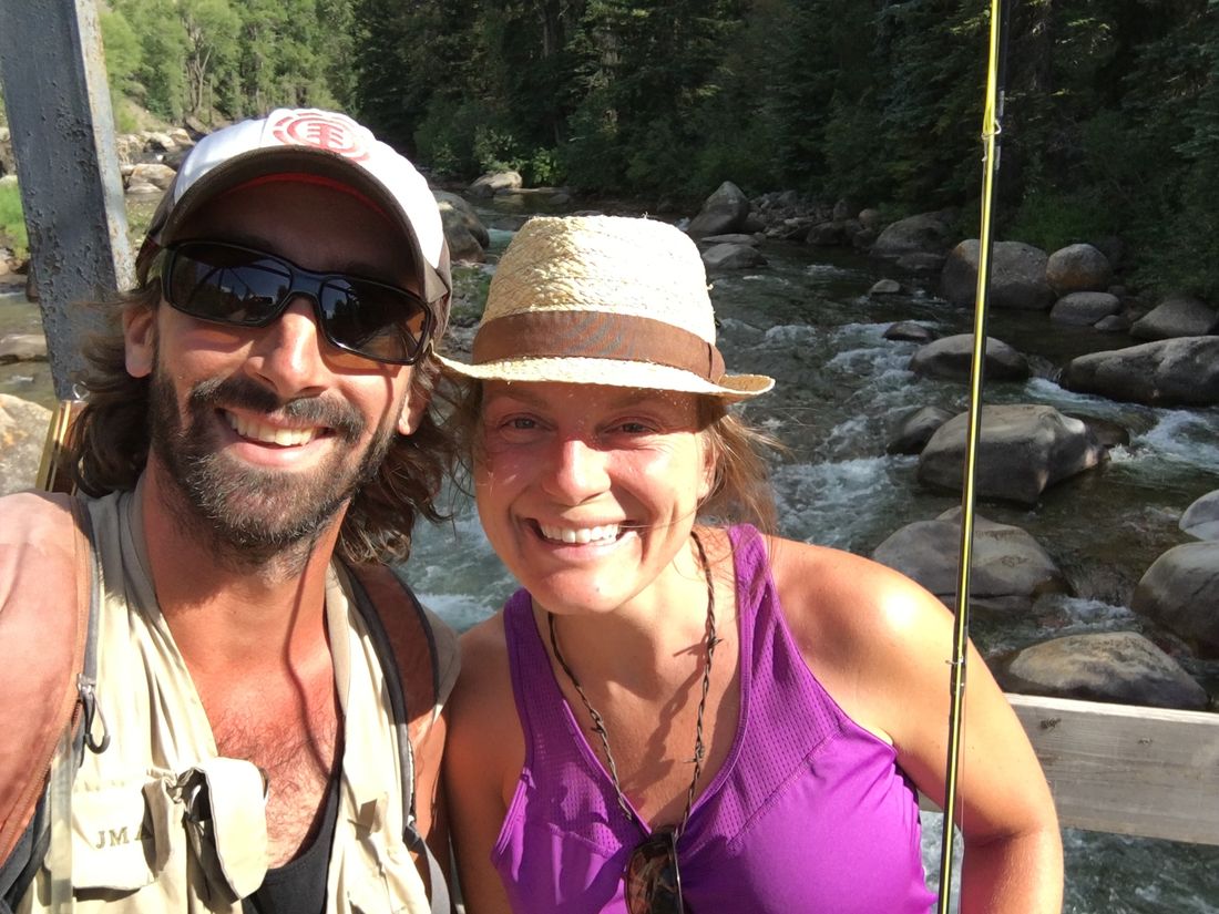
John Porter and Meaghan Richmond met working the lifts in Breckenridge during their first winter in Colorado in 2008. Over the last decade, they've built a business partnership on top of what matters most: they are best friends.

In 2016 they purchased this land outside Salida with the intention to subdivide it. In 2022 they formed Archery Lane LLC, which owns and is developing Divided Sky Estates. Ten years later, they are excited to be finalizing one of their dreams and opening the gate to the neighbors who will build here with them next.
On record

The Final Plat

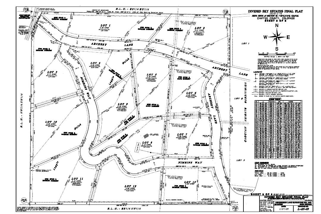
The approved final plat for Divided Sky Estates is on record with Chaffee County, Colorado. It is the authoritative document for the community: it shows buried power lines, drainage easements, property boundaries, and the topography of every lot.

One page, about 2.4 MB. If you would rather have it emailed, call Meaghan or John and they will send it over.

Preview of the recorded final plat survey drawing for Divided Sky Estates Recorded with Chaffee County

The town

About Salida

Salida sits in a wide, sunny bend of the Arkansas River in the heart of the Rockies. Locals call this stretch of the valley the banana belt for its mild, sun-heavy climate, and the views run straight up into the Collegiate Peaks of the Sawatch Range.

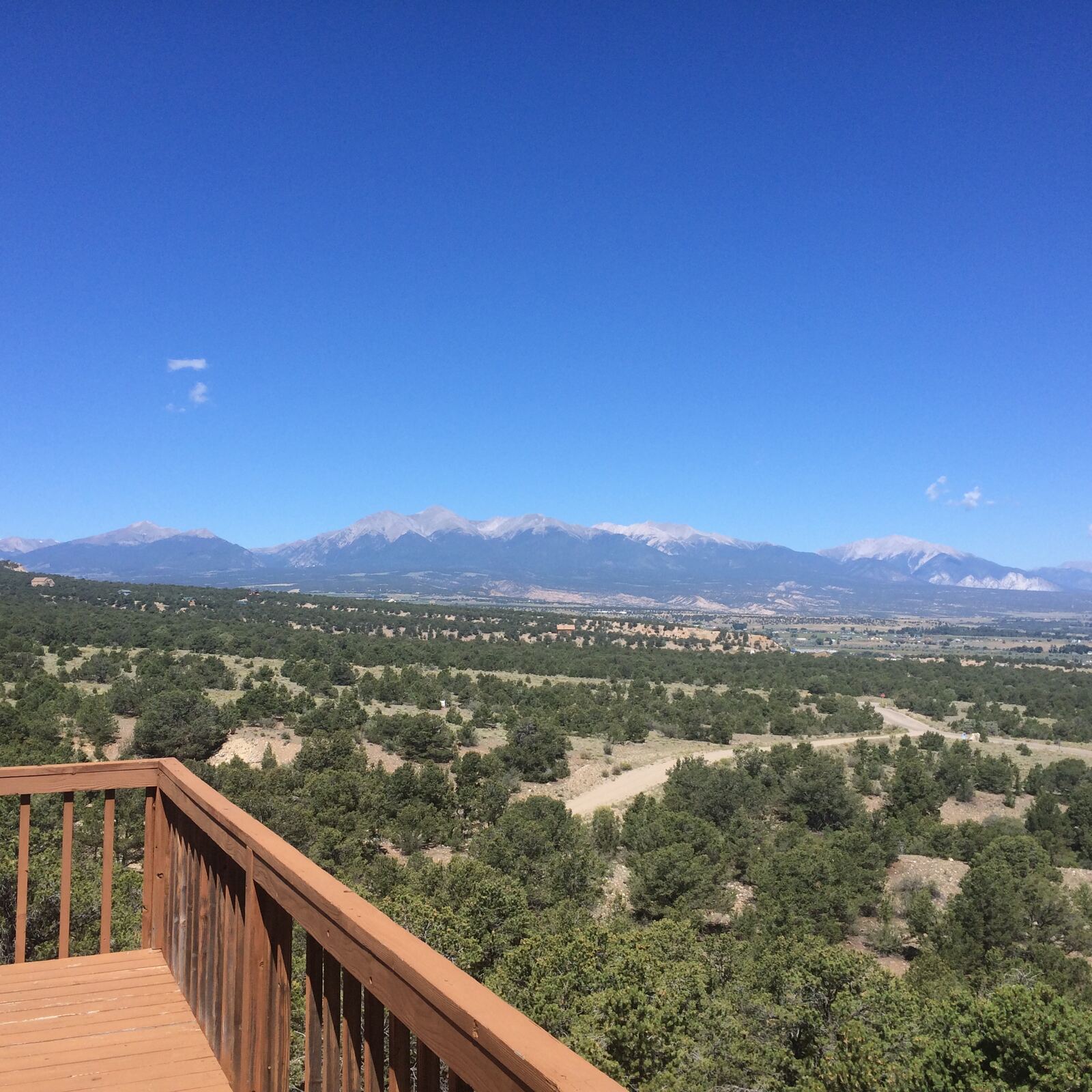
View from the deck on Lot 8 across the neighborhood to the Collegiate Peaks under a blue sky
The neighborhood on a bluebird day: Salida's fourteeners, peaks over 14,000 feet, and the Collegiate Peaks, seen from the deck on Lot 8.

Trails Out the Door

Methodist Mountain rises right behind the neighborhood, with more than twenty miles of trails you can ride or hike straight from your house. No trailhead drive, no parking lot, just out the door and climbing.

Historic Downtown

Downtown Salida is one of Colorado's largest National Historic Districts, block after block of brick storefronts filled with galleries, restaurants, and shops. It has earned its reputation as an arts town.

The Arkansas River

The river runs right through town, with a whitewater park downtown for kayaking, surfing, and tubing, and gold-medal fishing water up and down the valley.

Skiing and S Mountain

Monarch Mountain is a short drive up the pass for deep, uncrowded skiing. In town, S Mountain rises straight from the river with trails you can ride or hike from downtown.

Hot Springs

Soak options run deep here: the Salida Hot Springs Aquatic Center in town, Mount Princeton Hot Springs near Buena Vista, and Cottonwood Hot Springs up Cottonwood Pass road.

Buena Vista

Salida's neighbor up the valley is about 25 minutes north, with its own river park, restaurants, and trailheads into the Collegiate Peaks.

Getting Here

Denver is roughly two and a half to three hours away, close enough for a city run, far enough that the night sky still gets properly dark.

For Information Contact

Come Walk the Land

Questions about a lot, the plat, or the timeline? Call or text either of us.